
Verified View Surveys
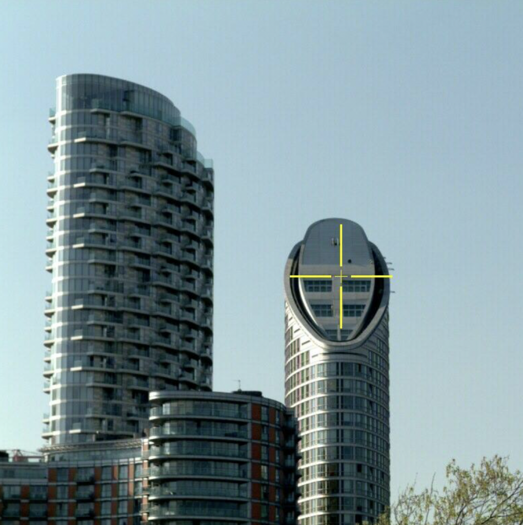
A verified view is a render of a 3D model representing a proposed development, placed accurately within a photograph of the prospective site.
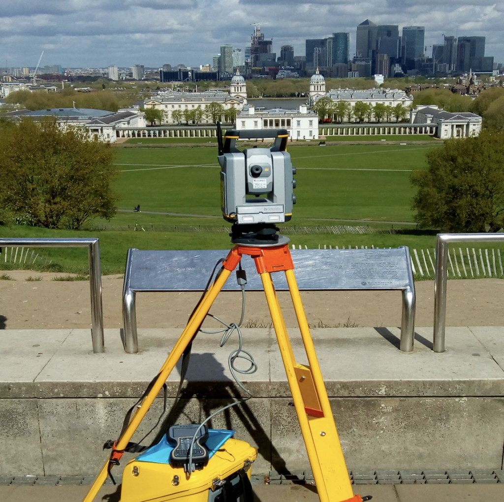
PLS have a wealth of experience in this area and can provide accurate survey information with regards to the reference points and the camera locations for a verified view. Deliverables will include:
- A comprehensive co-ordinate listing and survey report including point descriptions and the horizon level
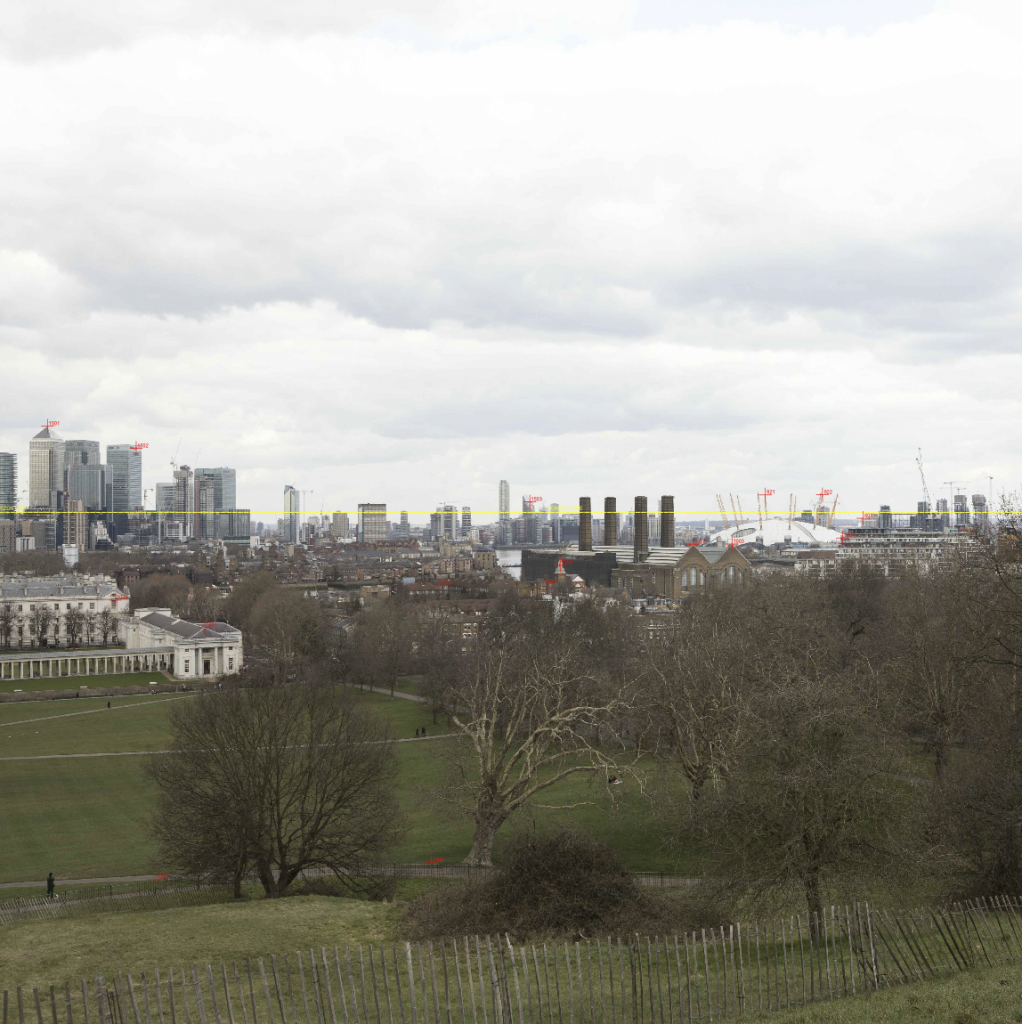
- Individual survey images displaying the actual surveyed points
- Marked up imagery in CAD and PDF format showing individual surveyed points and the horizon line (if required)
- 3D plans positions in CAD and KMZ (Google Earth) format
Looking to work with us? We’d be happy to start a conversation…