
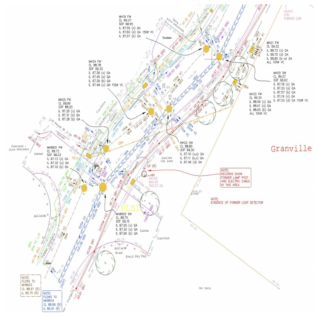
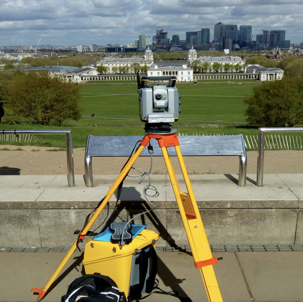
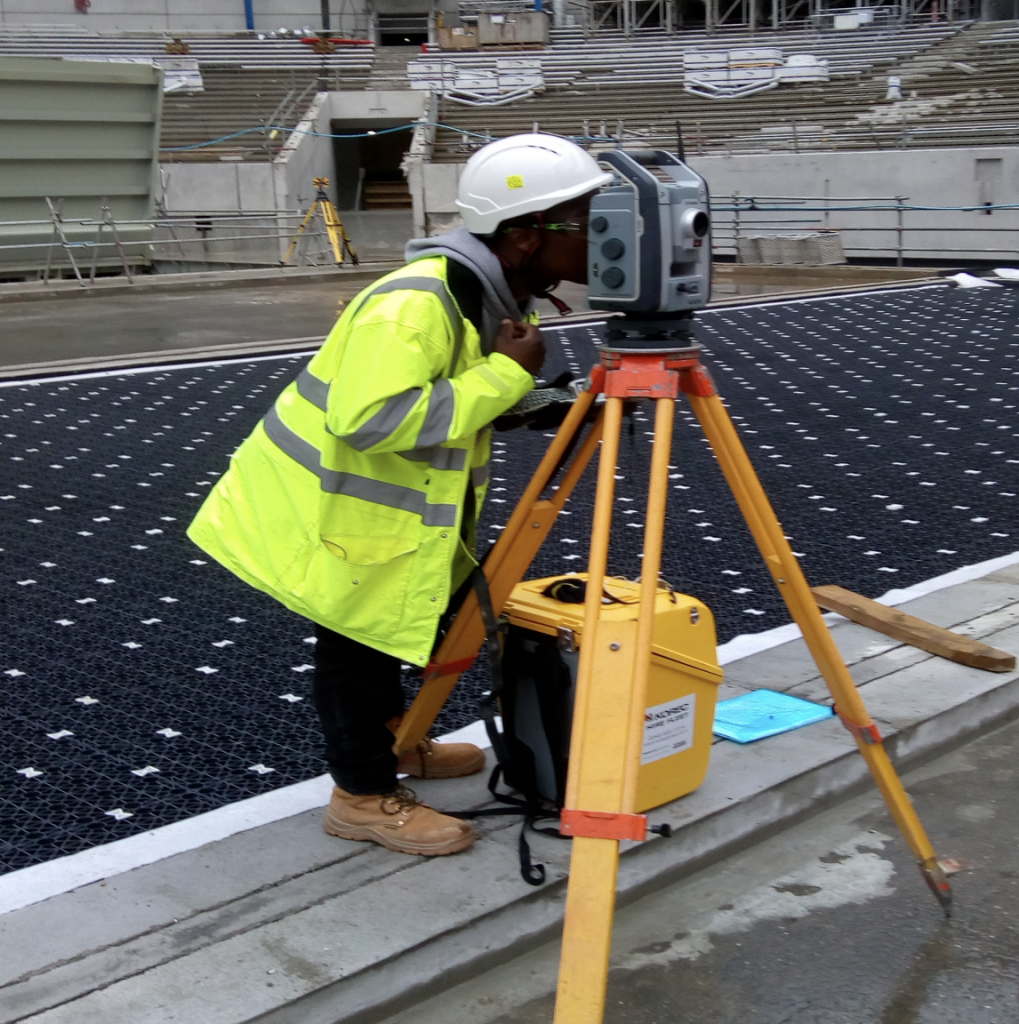
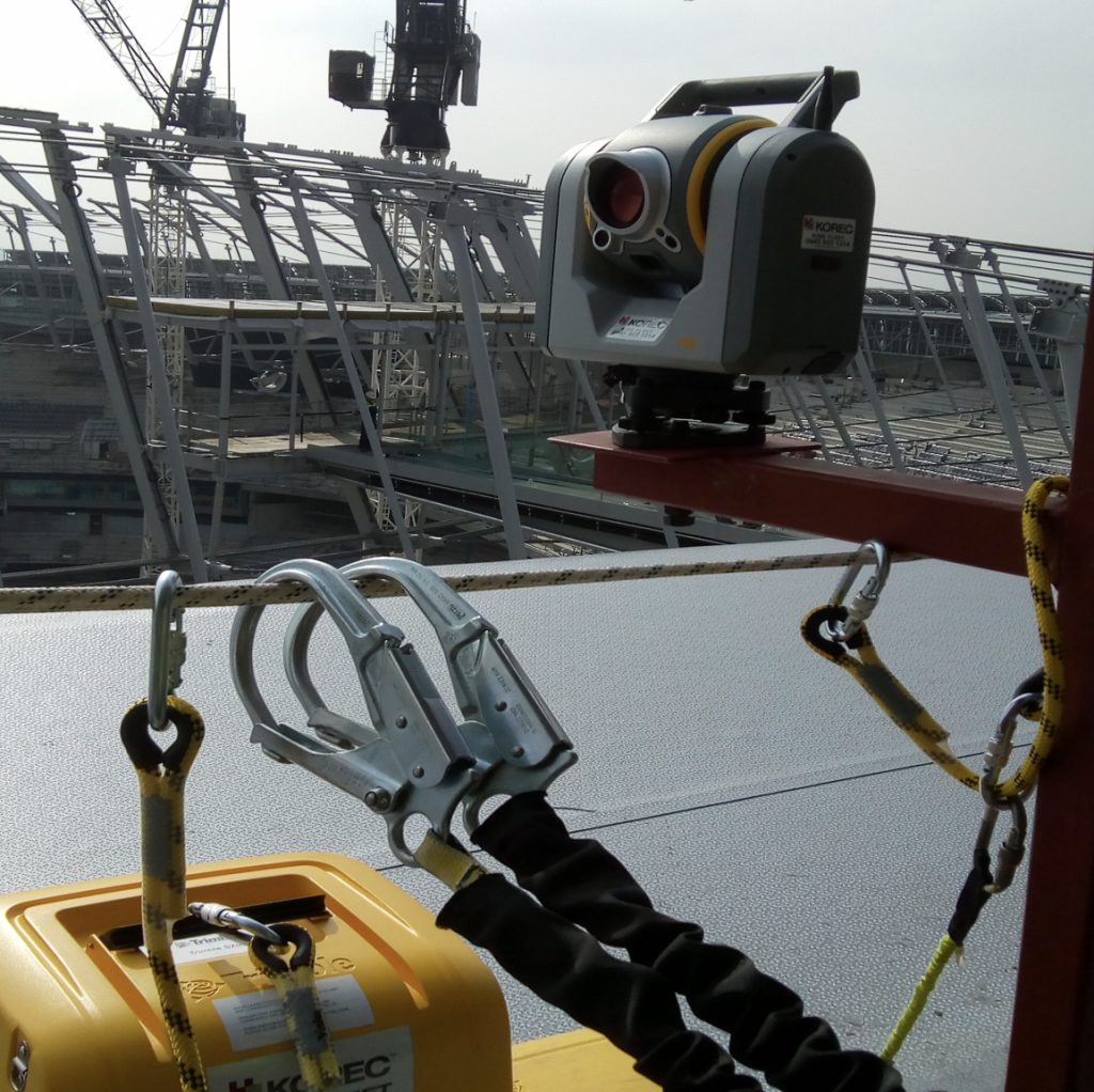
Topographical & Engineering Surveys
- Large and small-scale surveys in all environments.
- As-built surveys.
- Highway Surveys.
- Lease Plan and boundary surveys.
- Dimensional control surveys.
- Volumetric/ Cut and Fill analysis.
- 3D Modelling.
PLS will undertake land surveys small and large (from a single plot to large multi-acre developments) across the UK and further afield.
Utilising the most cost-effective solutions, PLS will also ensure that clients receive the products at the accuracy and detail they require.
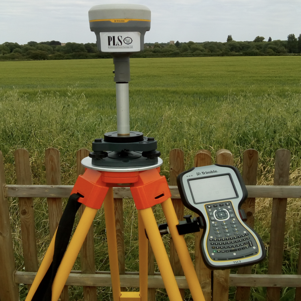
GNSS, Total Stations, Laser Scanning, LIDAR and Unmanned Aerial Vehicles (UAVS) are among the technologies that could be utilised to acquire geospatial data for our client’s projects.
Surveys can be delivered in a variety of formats and to specifications including:
- Client provided specifications
- RICS specification
- PLS’s own in-house specification
Looking to work with us? We’d be happy to start a conversation…