Utility Surveys
Utility Surveys will be carried out in accordance with PAS 128:2014 specification for underground utility detection, verification and location published by BSI.
Survey Types:
Type D: Desktop utility records search
A report identifying all known utility owners and their assets within an area including a list of affected and non-affected providers, long with plans, maps and diagrams provided.
Type C: Site Reconnaissance
Accompanied by a desktop report (type D) – it will involve a site reconnaissance visit to identify features that may indicate the presence of a service such as manholes, valves, utility markers, street furniture and excavation scars. The deliverable will be in the form of records overlaid onto existing survey or OS base plans.
Type B: Detection
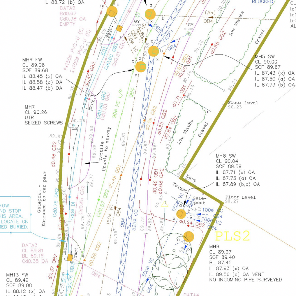
Accompanied by a desktop utility report (type D). This survey is a non-penetrative survey conducted using geophysical techniques such as electromagnetic detection and Ground Penetrating Radar (GPR). Deliverables will be in the form of an AutoCAD file accompanied by a written report and photographic record.
Type A: Verification
This survey can improve the confidence level of service location and types by actual visual inspection via access points such as manholes or by excavation ad exposure.
Looking to work with us? We’d be happy to start a conversation…


